 Contact
 How to shop
Delivery
Shopping guide
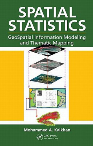
Spatial Statistics
 English
 371 b
371 b
 Delivery to Austria
Up to 30 days for returns
Customers also purchased


Geospatial information modeling and mapping has become an important tool for the investigation and management of natural resources at the landscape scale. Geostatistics reviews the types and applications of geospatial information data, such as remote sensing, GIS and GPS, as well as their integration into landscape scale geospatial statistical models and maps. Readers will learn the requirements and limitations of each geospatial tool. With statistical data analysis methods, the text includes laboratory exercises using ArcInfo, ArcGIS, ArcView, and other popular software for geospatial modeling. It also features case studies with examples.


About the book
English

Give this book today
It's easy
1 Add to cart and choose Deliver as present at the checkout 2 We'll send you a voucher 3 The book will arrive at the recipient's addressYou might also be interested in


 /
/
 Paperback
 16.39
€
16.39
€
 /
Paperback
13.49
€
/
Paperback
13.49
€


 /
Paperback
13.29
€
/
Paperback
13.29
€


 /
Hardback
204.49
€
/
Hardback
204.49
€


Hi! I'm Libroamiko, your book advisor.
How can I help you?