
 Contact
 How to shop
Delivery
Shopping guide
Pattern-Based Compression of Multi-Band Image Data for Landscape Analysis
 English
 290 b
290 b
 Delivery to Austria
Up to 30 days for returns
Customers also purchased


 /
/
 Hardback
 67.89
€
67.89
€



 /
Paperback
11.59
€
/
Paperback
11.59
€


 /
Paperback
142.69
€
/
Paperback
142.69
€

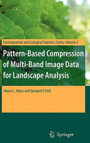
This book describes an integrated approach to using remotely sensed data in conjunction with geographic information systems for landscape analysis. Remotely sensed data are compressed into an analytical image-map that is compatible with the most popular geographic information systems as well as freeware viewers. The approach is most effective for landscapes that exhibit a pronounced mosaic pattern of land cover. The image maps are much more compact than the original remotely sensed data, which enhances utility on the internet. As value-added products, distribution of image-maps is not affected by copyrights on original multi-band image data.


About the book
English
Categories

Give this book today
It's easy
1 Add to cart and choose Deliver as present at the checkout 2 We'll send you a voucher 3 The book will arrive at the recipient's addressYou might also be interested in



















Hi! I'm Libroamiko, your book advisor.
How can I help you?