info@libristo.eu
We’ll reply within 24 hours
 Contact
 How to shop
Help
Delivery
Austrian Post 5.99 €
DPD courier 6.49 €
GLS courier 4.49 €
Shopping guide
We’re here for you!
info@libristo.eu
My account
Become part of a community of book lovers from all over the world and get access to a whole bunch of benefits.
Create an account for free
▸
Empty :-(
0
Atlas of Antarctica
Language
 English
English
Book
Paperback
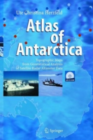
The atlas consists of 136 topographic maps derived from satellite radar altimetry (Geosat and ERS-1...
Full description
Libristo code: 02111253
 SALE
SALE
47.94
€
Low in stock
Shipping within 24 hours
 Delivery to Austria
Delivery to Austria
30-day return policy
You might also be interested in


 /
Paperback
/
Paperback
 8.98
€
8.98
€


The atlas consists of 136 topographic maps derived from satellite radar altimetry (Geosat and ERS-1 data). Each map is presented together with a description of glaciologic and topographic features. The main section is preceded by an introduction and three up-to-date topics and followed by applications. Applications are in monitoring changes in Antarctic glaciers, ice streams and ice shelves, and in detailed regional studies of outlet glaciers of the inland ice. The reader will also find index maps, an exhaustive list of references on related subjects in glaciology, geodesy, geomathematics, remote sensing, and an index of the Antarctic place names.
About the book
Full name
Atlas of Antarctica
Author
Ute Christina Herzfeld
Language
English
English
Binding
Book - Paperback
Date of issue
2013
Number of pages
365
EAN
9783642624186
ISBN
3642624189
Libristo code
02111253
Weight
820
Dimensions
197 x 276 x 27
